 PhenoRoam
RGB
Type of resources
Keywords
Contact for the resource
Provided by
-
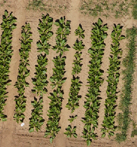
RGB orthomosaics from PR central experiment at Campus Klein-Altendorf acquired in years 2021 and 2022. Image data was acquired at 20m flight altitude throughout the vegetation season in March-September. Orthomosaics are georeferenced in WGS84 / UTM 32N
-
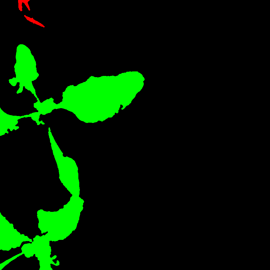
Images captured by a UGV in Bonn 2017. We also labelled the images with pixel-wise semantic segmentation. Refer to README.txt for more metadata. This data is an extension of the Sugar Beets Dataset, linked here https://www.ipb.uni-bonn.de/data/sugarbeets2016/. For more details, refer here: https://bonndoc.ulb.uni-bonn.de/xmlui/handle/20.500.11811/8981.
-
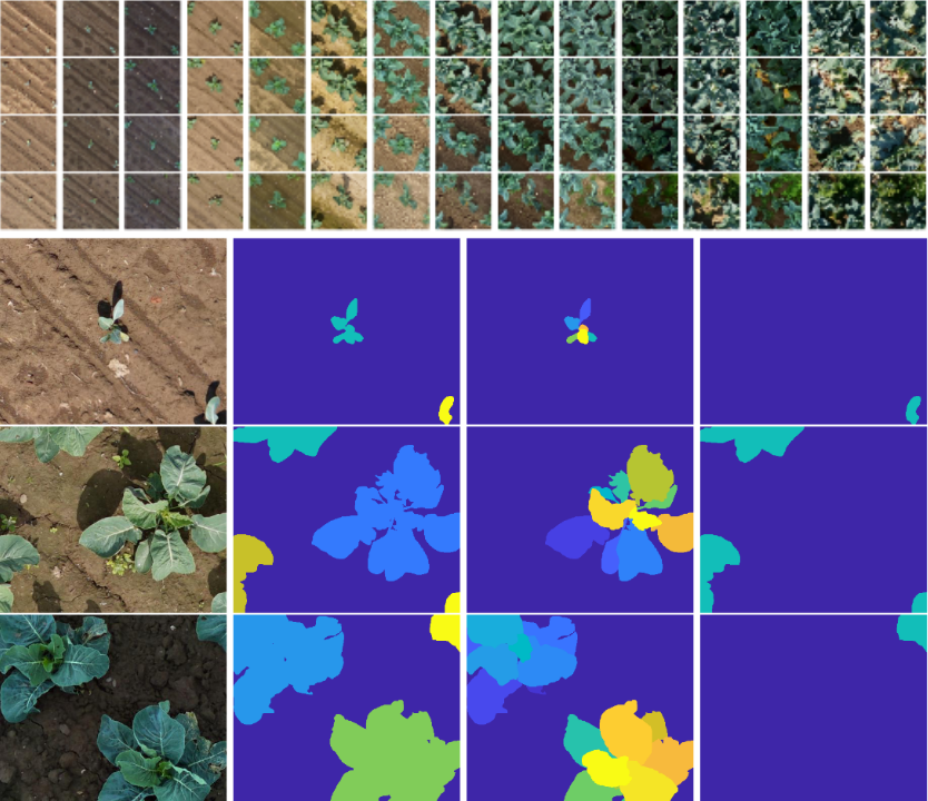
This is the Sugar Beets Dataset, linked here https://www.ipb.uni-bonn.de/data/sugarbeets2016/. This dataset contains over 13,000 images captured by a UGV in Bonn 2016. We labelled all the images with pixel-wise semantic segmentation differenting crops and weeds. Corresponding NIR images are also available. Please read the README.md before using the data.
-
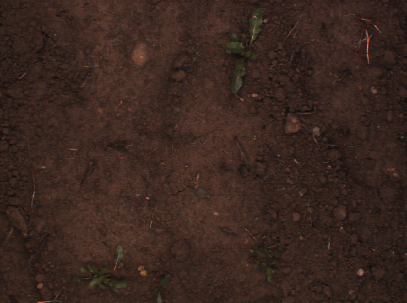
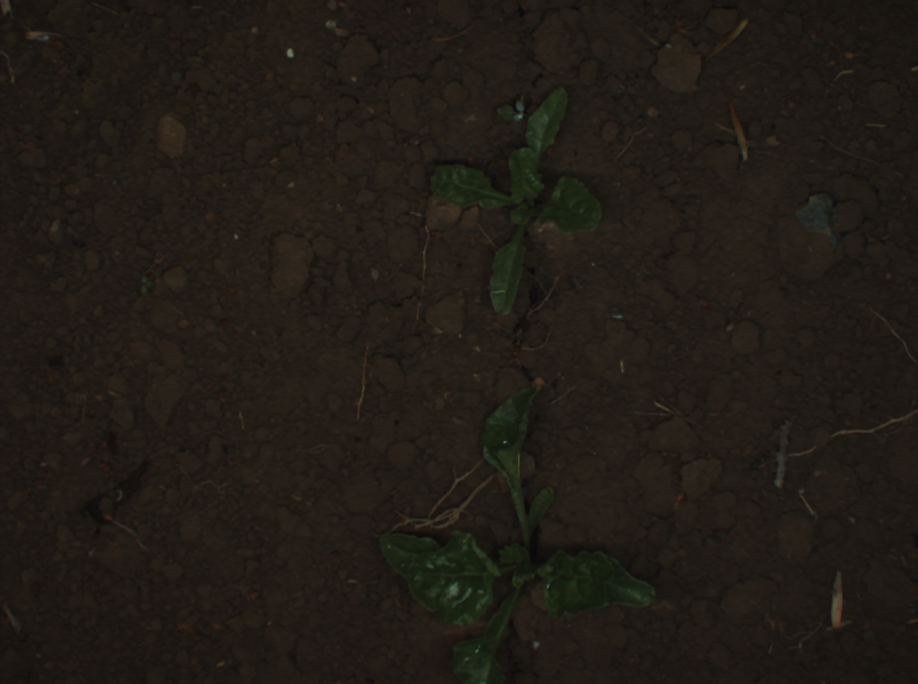
Images captured by a UGV in Eshikon 2016. We labelled the images with pixel-wise semantic segmentation. Please read the README.md before using the data.
-

Images captured by a UGV in Ancona 2018. We labelled the images with pixel-wise semantic segmentation. Please read the README.txt before using the data.
-
This dataset contains georeferenced, image-based UAV time-series of two monitored cauliflower fields acquired in two years, 2020 and 2021. The proposed dataset contains RGB and multispectral orthophotos with coordinates of approximately 14000 individual cauliflower plants. The coordinates enable extraction of complete and incomplete time-series of image patches showing individual plants. The dataset contains the collected phenotypic traits of 740 plants, including the developmental stage and plant and cauliflower size. The harvestable product is completely covered by leaves, thus, plant IDs and coordinates are provided to extract image pairs of plants pre- and post-defoliation. In addition, to facilitate classification, detection, segmentation, instance segmentation, and other similar computer vision tasks, the proposed dataset contains pixel-accurate leaf and plant instance segmentations, as well as stem annotations.