Semantic Segmentation
Type of resources
Keywords
Contact for the resource
Provided by
-

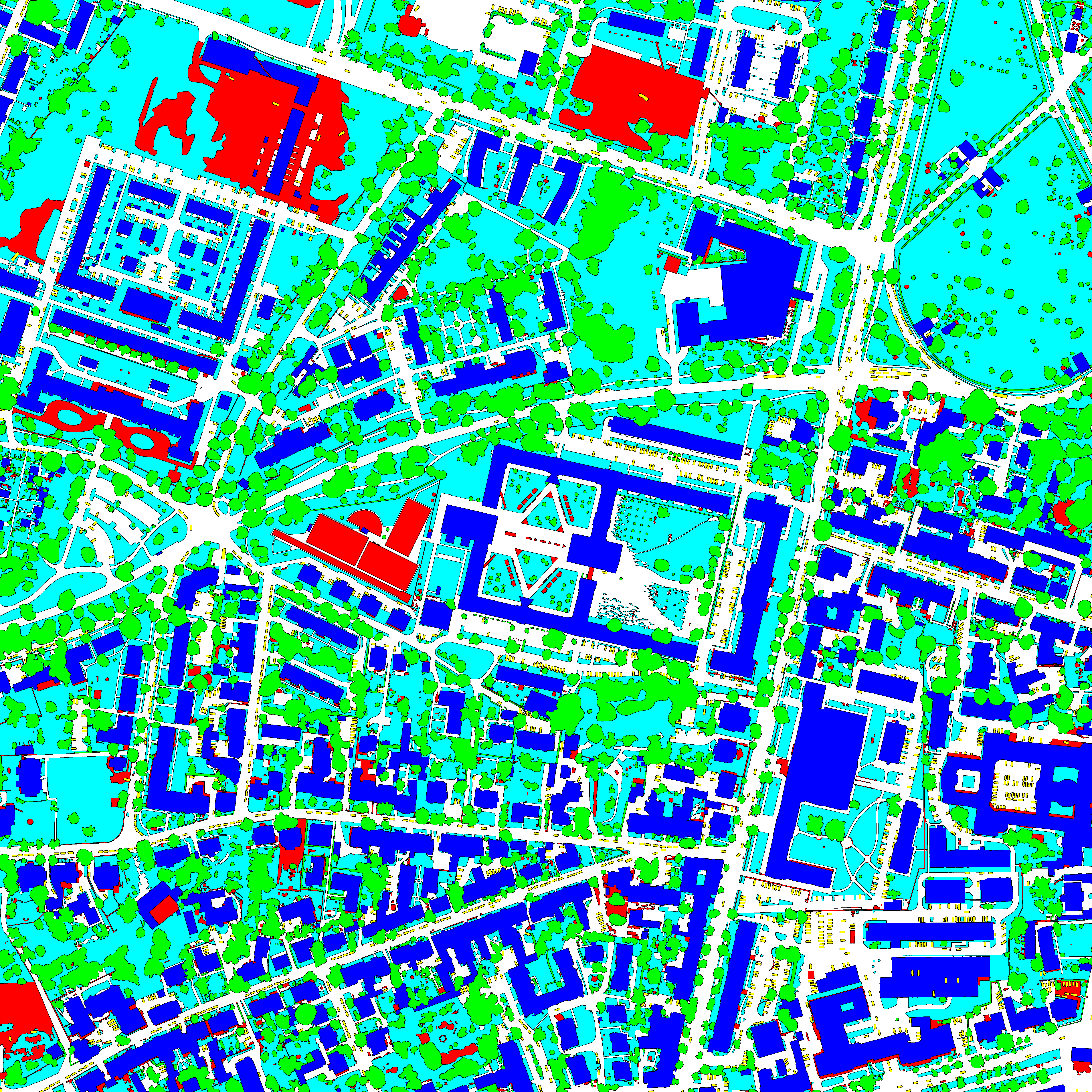
This dataset contains semantic segmentation train-validation-test data splits of (1) the ISPRS Potsdam orthomosaic (https://www.isprs.org/education/benchmarks/UrbanSemLab/2d-sem-label-potsdam.aspx), (2) the RIT-18 landcover orthomosaic (https://github.com/rmkemker/RIT-18), and (3) the industrial environment of the photorealistic Flightmare quadrotor simulator (https://github.com/uzh-rpg/flightmare). All splits are generated by simulating UAV missions at fixed altitudes. We use these datasets in our "An Informative Path Planning Framework for Active Learning in UAV-based Semantic Mapping" paper. Further, it contains (4) model checkpoints of our proposed Bayesian ERFNet framework (https://github.com/dmar-bonn/bayesian_erfnet) pre-trained on Cityscapes, (5) the ISPRS Potsdam and RIT-18 RGB and semantically labelled orthomosaics, and (6) the Flightmare render binary for the industrial environment.
-

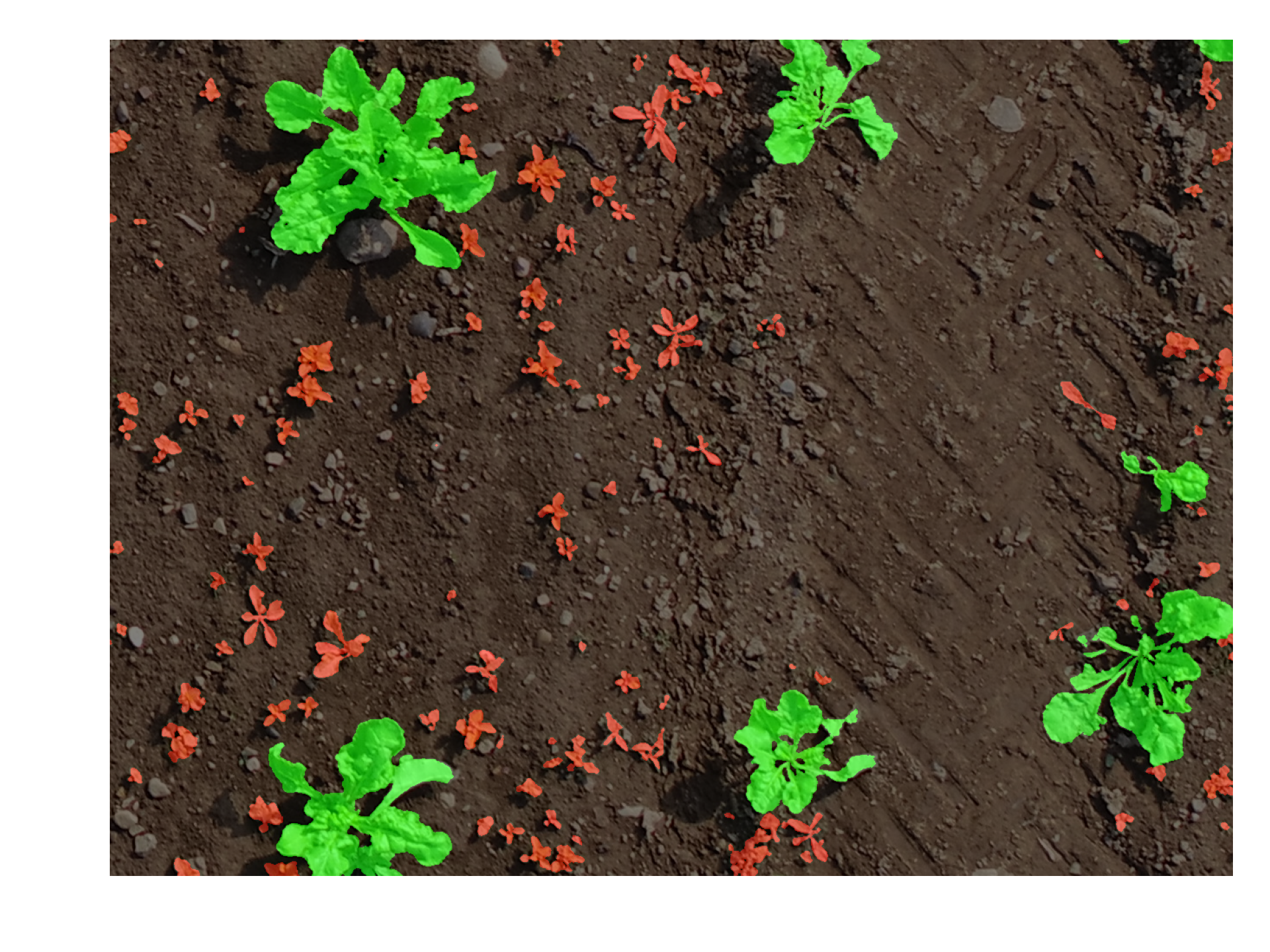
Images captured by an UAV at Zurich with additional annotations of crops and weeds (2017). The *split.yaml* file contains information about which images belong to the train, val, and test set.
-

Images captured by an UAV at Bonn with additional annotations of crops and weeds (2017). The *split.yaml* file contains information about which images belong to the train, val, and test set.
 PhenoRoam