 PhenoRoam
Timo Tjaden Stomberg
Type of resources
Keywords
Contact for the resource
Provided by
-
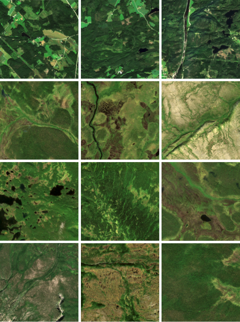
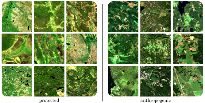
The AnthroProtect dataset is built to discover the characteristics of protected and anthropogenic areas in Fennoscandia using multispectral satellite imagery. It contains 23,919 Sentinel-2 images (256*256 pixels, 10 bands) showing either a protected or an anthropogenic region. Further, land cover information is provided for all images. For a detailed description, we refer to our research article. Citation: Stomberg TT, Leonhardt J, Weber I and Roscher R (2023) Recognizing protected and anthropogenic patterns in landscapes using interpretable machine learning and satellite imagery. Front. Artif. Intell. 6:1278118. doi: 10.3389/frai.2023.1278118. https://www.frontiersin.org/articles/10.3389/frai.2023.1278118 The dataset has been exported using Google Earth Engine. Our code is available at: https://gitlab.jsc.fz-juelich.de/kiste/anthroprotect
-
AnthroProtect 2.0 is built to discover the characteristics of protected and anthropogenic areas in Fennoscandia using multispectral satellite imagery. It contains 61,810 Sentinel-2 images (256*256 pixels, 12 bands) from seven years (2018 to 2024) showing either a protected, an anthropogenic, or another type of region. For a detailed description, we refer to the following dissertation: Citation: Stomberg, Timo Tjaden: Improving Explanations of Convolutional Neural Networks with Applications to Land Cover Mapping. - Bonn, 2026. - Dissertation, Rheinische Friedrich-Wilhelms-Universität Bonn.